
Panchor topographic map
Interactive map
Click on the map to display elevation.
About this map
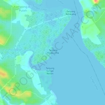
Name: Panchor topographic map, elevation, terrain.
Location: Panchor, Johor, Malaysia (1.59672 103.94438 1.63672 103.98438)
Average elevation: 8 m
Minimum elevation: -3 m
Maximum elevation: 58 m