
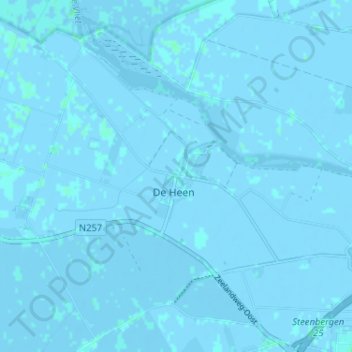
De Heen topographic map
Interactive map
Click on the map to display elevation.
About this map
Name: De Heen topographic map, elevation, terrain.
Location: De Heen, Nordbrabant, Niederlande, 4655, Niederlande (51.59026 4.25197 51.63026 4.29197)
Average elevation: 0 m
Minimum elevation: -4 m
Maximum elevation: 3 m