
Pantar topographic map
Interactive map
Click on the map to display elevation.
About this map
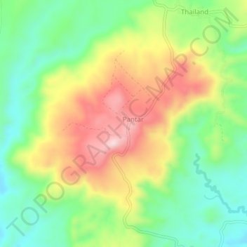
Name: Pantar topographic map, elevation, terrain.
Location: Pantar, Cotabato, Soccsksargen, Philippines (7.45499 124.69305 7.49499 124.73305)
Average elevation: 404 m
Minimum elevation: 266 m
Maximum elevation: 593 m