
Lombise topographic map
Interactive map
Click on the map to display elevation.
About this map
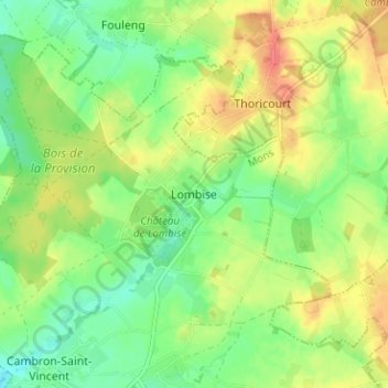
Name: Lombise topographic map, elevation, terrain.
Location: Lombise, Lens, Mons, Hainaut, Wallonie, 7870, Belgique (50.58077 3.91979 50.62077 3.95979)
Average elevation: 77 m
Minimum elevation: 53 m
Maximum elevation: 106 m