Geolocate

Solomons topographic map

Click on the map to display elevation.

About this map

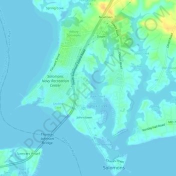
Name: Solomons topographic map, elevation, terrain.

Location: Solomons, Calvert County, Maryland, United States (38.31641 -76.48384 38.35404 -76.44680)

Average elevation: 4 m

Minimum elevation: -7 m

Maximum elevation: 26 m

Gear up for your next adventure:

🔋Rechargeable Batteries - Eco-friendly power for headlamps and older GPS units
📷Outdoor Action Cameras - Cameras designed for hiking and adventure
🧦Hiking Socks - Breathable socks designed to prevent blisters on long walks
🗺️Ordnance Survey Maps - Essential paper maps for hiking across the UK national parks
📦Compression Sacks - Reduce backpack volume efficiently

As an Amazon Associate, this site earns from qualifying purchases at no extra cost to you.