
Thank you for supporting this site ❤️
Make a donation
Make a donation
Gear up for your next adventure:
As an Amazon Associate, this site earns from qualifying purchases at no extra cost to you.
Baroda topographic map
Click on the map to display elevation.
Thank you for supporting this site ❤️
Make a donation
Make a donation
Gear up for your next adventure:
As an Amazon Associate, this site earns from qualifying purchases at no extra cost to you.
About this map
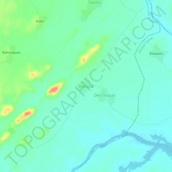
Name: Baroda topographic map, elevation, terrain.
Location: Baroda, Jahazpur Tehsil, Shahpura, Rajasthan, India (25.46985 75.32898 25.50985 75.36898)
Average elevation: 320 m
Minimum elevation: 303 m
Maximum elevation: 379 m
Thank you for supporting this site ❤️
Make a donation
Make a donation
Gear up for your next adventure:
As an Amazon Associate, this site earns from qualifying purchases at no extra cost to you.