
Tono Dam topographic map
Interactive map
Click on the map to display elevation.
About this map
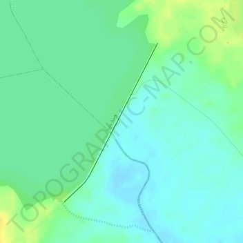
Name: Tono Dam topographic map, elevation, terrain.
Location: Tono Dam, Upper East Region, Ghana (10.86243 -1.15450 10.88033 -1.14376)
Average elevation: 176 m
Minimum elevation: 166 m
Maximum elevation: 191 m
Other topographic maps
Click on a map to view its topography, its elevation and its terrain.
Navrongo
Ghana > Upper East Region > Navrongo
Navrongo, Upper East Region, Ghana
Average elevation: 186 m