
Hòa Thành topographic map
Interactive map
Click on the map to display elevation.
About this map
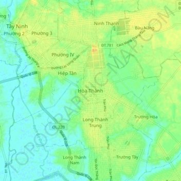
Name: Hòa Thành topographic map, elevation, terrain.
Location: Hòa Thành, Thị xã Hòa Thành, Tay Ninh province, Vietnam (11.24528 106.08962 11.32528 106.16962)
Average elevation: 12 m
Minimum elevation: -1 m
Maximum elevation: 28 m