
Tarout topographic map
Interactive map
Click on the map to display elevation.
About this map
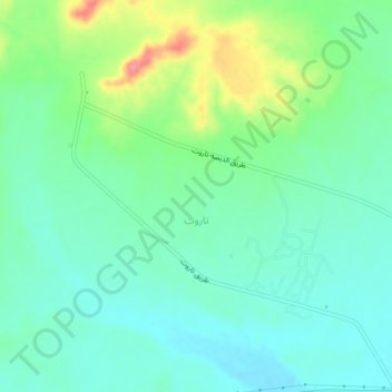
Name: Tarout topographic map, elevation, terrain.
Location: Tarout, Wadi al Shatii, Libya (27.49908 13.90904 27.53432 13.95142)
Average elevation: 352 m
Minimum elevation: 326 m
Maximum elevation: 418 m