
Chester topographic map
Interactive map
Click on the map to display elevation.
About this map
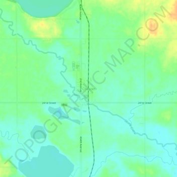
Name: Chester topographic map, elevation, terrain.
Location: Chester, Lake County, South Dakota, 57016, United States (43.87497 -96.94645 43.91497 -96.90645)
Average elevation: 489 m
Minimum elevation: 477 m
Maximum elevation: 510 m
Other topographic maps
Click on a map to view its topography, its elevation and its terrain.
Madison
United States > South Dakota > Lake County
Madison, Lakeview Township, Lake County, South Dakota, United States
Average elevation: 516 m
Brant Lake
United States > South Dakota > Lake County
Brant Lake, Chester Township, Lake County, South Dakota, United States
Average elevation: 497 m
Winfred
United States > South Dakota > Lake County
Winfred, Winfred Township, Lake County, South Dakota, 57076, United States
Average elevation: 518 m