
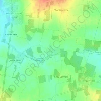
La Tranche topographic map
Interactive map
Click on the map to display elevation.
About this map
Name: La Tranche topographic map, elevation, terrain.
Average elevation: 51 m
Minimum elevation: 32 m
Maximum elevation: 79 m
Other topographic maps
Click on a map to view its topography, its elevation and its terrain.
Le Puits d'Asnières
France > Nouvelle-Aquitaine > Charente-Maritime > Asnières-la-Giraud
Le Puits d'Asnières, Asnières-la-Giraud, Saint-Jean-d'Angély, Charente-Maritime, Nouvelle-Aquitaine, France métropolitaine, 17400, France
Average elevation: 59 m