
Pashtun Kot topographic map
Interactive map
Click on the map to display elevation.
About this map
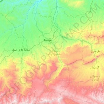
Name: Pashtun Kot topographic map, elevation, terrain.
Location: Pashtun Kot, Faryab, Afghanistan (35.42972 64.38499 36.22273 65.11687)
Average elevation: 1,431 m
Minimum elevation: 458 m
Maximum elevation: 3,392 m
Other topographic maps
Click on a map to view its topography, its elevation and its terrain.