
Gonderange topographic map
Interactive map
Click on the map to display elevation.
About this map
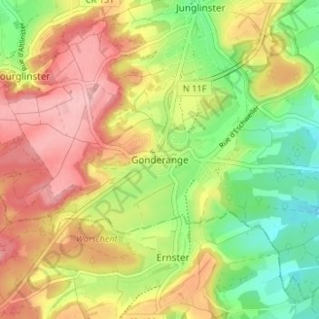
Name: Gonderange topographic map, elevation, terrain.
Location: Gonderange, Junglinster, Canton Grevenmacher, 6184, Luxembourg (49.67266 6.22435 49.71266 6.26435)
Average elevation: 343 m
Minimum elevation: 269 m
Maximum elevation: 416 m