
Puiflijk topographic map
Interactive map
Click on the map to display elevation.
About this map
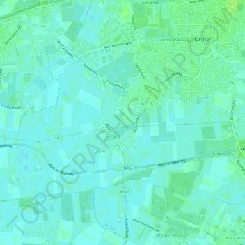
Name: Puiflijk topographic map, elevation, terrain.
Location: Puiflijk, Druten, Gelderland, Nederland (51.86254 5.55304 51.88562 5.61045)
Average elevation: 7 m
Minimum elevation: 3 m
Maximum elevation: 14 m
Other topographic maps
Click on a map to view its topography, its elevation and its terrain.
Afferden
Nederland > Gelderland > Druten
Afferden, Druten, Gelderland, Nederland
Average elevation: 8 m