
Făget topographic map
Interactive map
Click on the map to display elevation.
About this map
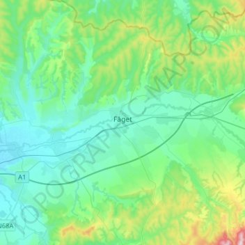
Name: Făget topographic map, elevation, terrain.
Location: Făget, Timiș, Roumanie (45.76349 22.06902 45.94299 22.29239)
Average elevation: 207 m
Minimum elevation: 131 m
Maximum elevation: 516 m
Other topographic maps
Click on a map to view its topography, its elevation and its terrain.