
La Juana topographic map
Interactive map
Click on the map to display elevation.
About this map
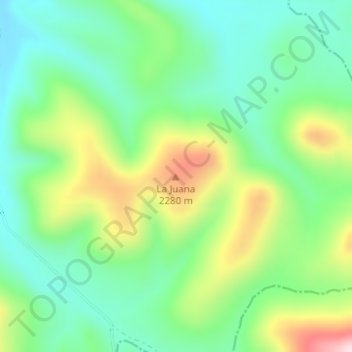
Name: La Juana topographic map, elevation, terrain.
Location: La Juana, Namiquipa, Chihuahua, Mexico (28.80701 -107.45094 28.80711 -107.45084)
Average elevation: 2,152 m
Minimum elevation: 2,043 m
Maximum elevation: 2,365 m
Other topographic maps
Click on a map to view its topography, its elevation and its terrain.