Geolocate

Oncești topographic map

Click on the map to display elevation.

About this map

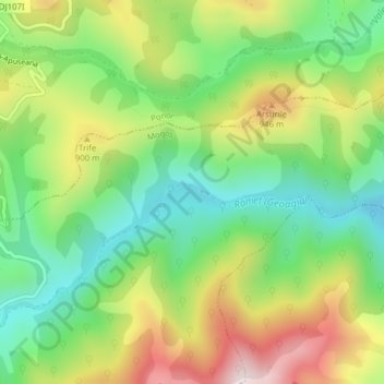
Name: Oncești topographic map, elevation, terrain.

Location: Oncești, Mogoș, Alba, 517494, Romania (46.29136 23.40638 46.31136 23.42638)

Average elevation: 792 m

Minimum elevation: 588 m

Maximum elevation: 1,091 m

Gear up for your next adventure:

📷Camera Straps - Secure straps for carrying cameras while walking
🧭Emergency Beacons - Safety beacons for remote outdoor locations
🧣Fleece Neck Warmers - Extra insulation for winter topographic surveys
GPS Outdoor Watches - Watches with GPS tracking for hiking and exploration
🧺Ultralight Dry Bags - Organize and waterproof your gear inside your rucksack

As an Amazon Associate, this site earns from qualifying purchases at no extra cost to you.