
Ashford topographic map
Interactive map
Click on the map to display elevation.
About this map
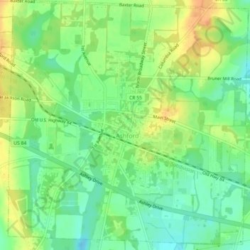
Name: Ashford topographic map, elevation, terrain.
Location: Ashford, Houston County, Alabama, 36312, USA (31.16707 -85.25934 31.20362 -85.21454)
Average elevation: 77 m
Minimum elevation: 59 m
Maximum elevation: 98 m