Geolocate

Nallur topographic map

Click on the map to display elevation.

About this map
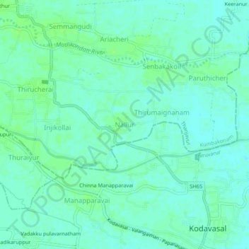
Name: Nallur topographic map, elevation, terrain.

Location: Nallur, Kumbakonam, Thanjavur, Tamil Nadu, 612601, India (10.85193 79.44736 10.89193 79.48736)

Average elevation: 21 m

Minimum elevation: 16 m

Maximum elevation: 26 m

Gear up for your next adventure:

🗺️Ordnance Survey Maps - Official UK maps for walking and outdoor activities
👖Convertible Hiking Trousers - Versatile zip-off pants for changing mountain weather conditions
🧤Thermal Touchscreen Gloves - Stay warm while operating your GPS or smartphone camera
🔋Lithium AA Batteries - Long-lasting power that performs well in cold mountain weather
🔥Emergency Fire Starters - Reliable ignition tools for survival situations in damp conditions

As an Amazon Associate, this site earns from qualifying purchases at no extra cost to you.