
Sutton topographic map
Click on the map to display elevation.
About this map
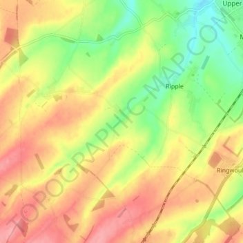
Name: Sutton topographic map, elevation, terrain.
Location: Sutton, Dover, Kent, South East England, England, United Kingdom (51.16995 1.28700 51.21714 1.35669)
Average elevation: 53 m
Minimum elevation: 4 m
Maximum elevation: 94 m
Kent trails, hiking, mountain biking, running and outdoor activities