
Make a donation
Gear up for your next adventure:
As an Amazon Associate, this site earns from qualifying purchases at no extra cost to you.
Borne topographic map
Click on the map to display elevation.
Make a donation
Gear up for your next adventure:
As an Amazon Associate, this site earns from qualifying purchases at no extra cost to you.
About this map
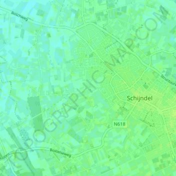
Name: Borne topographic map, elevation, terrain.
Average elevation: 9 m
Minimum elevation: 4 m
Maximum elevation: 13 m
Make a donation
Gear up for your next adventure:
As an Amazon Associate, this site earns from qualifying purchases at no extra cost to you.
Other topographic maps
Click on a map to view its topography, its elevation and its terrain.
Wijbosch
Nederland > Noord-Brabant > Schijndel
De architect van de nieuwe Sint-Servatiuskerk was J.J.M. van Halteren. De kerk heeft een vorm van een kruis, een klokkentoren ontbreekt. Het is een bakstenen kerk die tot op zekere hoogte neo-romaans is.
Average elevation: 10 m