
Andratx topographic map
Interactive map
Click on the map to display elevation.
About this map
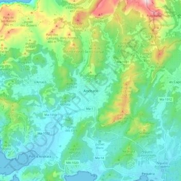
Name: Andratx topographic map, elevation, terrain.
Location: Andratx, Serra de Tramuntana, Balearen, 07150, Spanje (39.53460 2.38021 39.61460 2.46021)
Average elevation: 178 m
Minimum elevation: 0 m
Maximum elevation: 696 m