
Ernster topographic map
Interactive map
Click on the map to display elevation.
About this map
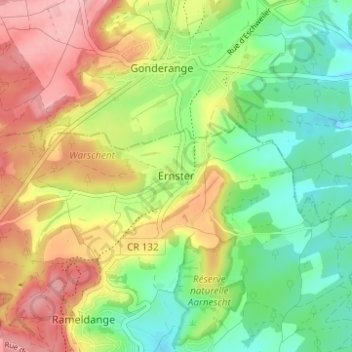
Name: Ernster topographic map, elevation, terrain.
Location: Ernster, Niederanven, Canton Luxembourg, 6166, Luxembourg (49.66035 6.22688 49.70035 6.26688)
Average elevation: 334 m
Minimum elevation: 269 m
Maximum elevation: 416 m