Geolocate

Morococha topographic map

Click on the map to display elevation.

About this map
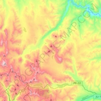
Name: Morococha topographic map, elevation, terrain.

Location: Morococha, Province of Yauli, Junín, Peru (-11.63234 -76.22734 -11.38796 -76.03083)

Average elevation: 4,541 m

Minimum elevation: 3,779 m

Maximum elevation: 5,408 m

Gear up for your next adventure:

📕Outdoor Navigation Books - Learn traditional and modern navigation techniques
🛌Insulated Sleeping Mats - Crucial thermal protection when sleeping on cold, uneven ground
🧴Sport Sunscreen Sticks - High-protection sunblock that won't run into your eyes on the trail
🚶Walking Pedometers - Simple distance tracking for casual trail walkers
🛰️Satellite Messengers - Emergency communication devices for areas without mobile signal

As an Amazon Associate, this site earns from qualifying purchases at no extra cost to you.