
Singu topographic map
Interactive map
Click on the map to display elevation.
About this map
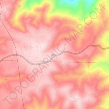
Name: Singu topographic map, elevation, terrain.
Location: Singu, Babati Municipal, Manyara, Northern Zone, Tanzania (-4.22434 35.61401 -4.18434 35.65401)
Average elevation: 1,676 m
Minimum elevation: 1,396 m
Maximum elevation: 1,759 m