
Iringa topographic map
Interactive map
Click on the map to display elevation.
About this map
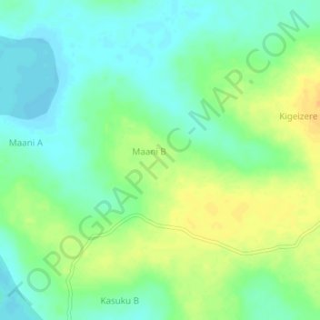
Name: Iringa topographic map, elevation, terrain.
Location: Iringa, Buyende, Eastern Region, Uganda (1.24667 32.96333 1.28667 33.00333)
Average elevation: 1,045 m
Minimum elevation: 1,032 m
Maximum elevation: 1,062 m
Other topographic maps
Click on a map to view its topography, its elevation and its terrain.