
Lapela topographic map
Interactive map
Click on the map to display elevation.
About this map
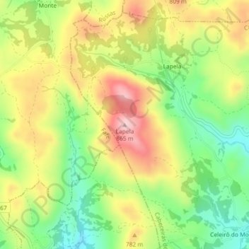
Name: Lapela topographic map, elevation, terrain.
Location: Lapela, Cabeceiras de Basto, Braga, Portugal (41.54609 -8.06106 41.54619 -8.06096)
Average elevation: 728 m
Minimum elevation: 612 m
Maximum elevation: 856 m