
Southern Gaysum topographic map
Interactive map
Click on the map to display elevation.
About this map
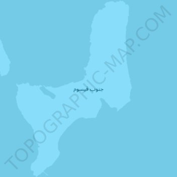
Name: Southern Gaysum topographic map, elevation, terrain.
Location: Southern Gaysum, Red Sea, Egypt (27.65075 33.69755 27.70759 33.73966)
Average elevation: 0 m
Minimum elevation: 0 m
Maximum elevation: 0 m
Other topographic maps
Click on a map to view its topography, its elevation and its terrain.
Wadi El-Gemal - Hamata National Park
Wadi El-Gemal - Hamata National Park, Red Sea, Egypt
Average elevation: 244 m
Al Qusair City
Egypt > Red Sea > Al Qusair City
Al Qusair City, Red Sea, 84712, Egypt
Average elevation: 47 m