
Tula topographic map
Interactive map
Click on the map to display elevation.
About this map
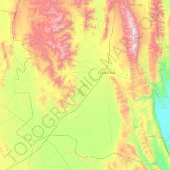
Name: Tula topographic map, elevation, terrain.
Location: Tula, Tamaulipas, México (22.61276 -100.11085 23.28282 -99.45982)
Average elevation: 1,317 m
Minimum elevation: 399 m
Maximum elevation: 2,797 m