
Jojutla topographic map
Interactive map
Click on the map to display elevation.
About this map
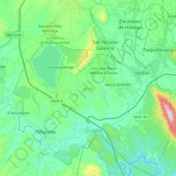
Name: Jojutla topographic map, elevation, terrain.
Location: Jojutla, Morelos, México (18.52041 -99.30192 18.67950 -99.14787)
Average elevation: 936 m
Minimum elevation: 773 m
Maximum elevation: 1,549 m