
Onigbongbo topographic map
Interactive map
Click on the map to display elevation.
About this map
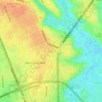
Name: Onigbongbo topographic map, elevation, terrain.
Location: Onigbongbo, Ikeja, Lagos State, 100271, Nigeria (6.55044 3.34414 6.59044 3.38414)
Average elevation: 23 m
Minimum elevation: -1 m
Maximum elevation: 42 m