Azaghar (chamlal) topographic map
Interactive map
Click on the map to display elevation.
About this map
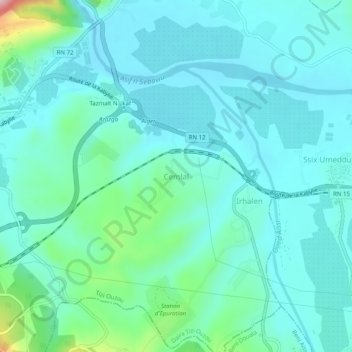
Name: Azaghar (chamlal) topographic map, elevation, terrain.
Average elevation: 103 m
Minimum elevation: 60 m
Maximum elevation: 316 m

Click on the map to display elevation.
Name: Azaghar (chamlal) topographic map, elevation, terrain.
Average elevation: 103 m
Minimum elevation: 60 m
Maximum elevation: 316 m