Geolocate

La Balma topographic map

Click on the map to display elevation.

About this map
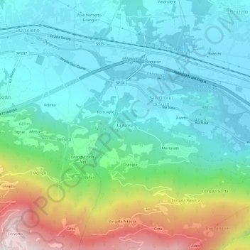
Name: La Balma topographic map, elevation, terrain.

Location: La Balma, San Giorio di Susa, Torino, Piemonte, 10053, Italia (45.10404 7.14984 45.14404 7.18984)

Average elevation: 639 m

Minimum elevation: 406 m

Maximum elevation: 1,319 m

Gear up for your next adventure:

🔋Rechargeable Batteries - Eco-friendly power for headlamps and older GPS units
📻Hand-Crank Emergency Radios - Stay updated on weather warnings in remote areas
🧢Hiking Hats - Sun and weather protection for outdoor walks
🛑Emergency Bivvy Bags - Heat-reflective survival bags for unexpected nights out
👖Hiking Trousers - Durable trousers designed for rough terrain

As an Amazon Associate, this site earns from qualifying purchases at no extra cost to you.