
Kamanjab topographic map
Interactive map
Click on the map to display elevation.
About this map
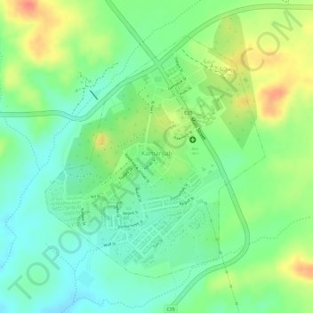
Name: Kamanjab topographic map, elevation, terrain.
Location: Kamanjab, Kunene Region, Namibia (-19.63840 14.83667 -19.61876 14.85330)
Average elevation: 1,218 m
Minimum elevation: 1,191 m
Maximum elevation: 1,252 m