
Adrar topographic map
Interactive map
Click on the map to display elevation.
About this map
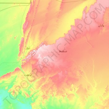
Name: Adrar topographic map, elevation, terrain.
Location: Adrar, Mauretanien (19.39558 -13.53204 21.39558 -11.53204)
Average elevation: 338 m
Minimum elevation: 70 m
Maximum elevation: 790 m
Other topographic maps
Click on a map to view its topography, its elevation and its terrain.