Geolocate

Sindumin topographic map

Click on the map to display elevation.

About this map

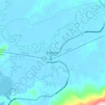
Name: Sindumin topographic map, elevation, terrain.

Location: Sindumin, Sipitang, Interior Division, Sabah, Malaysia (4.92416 115.46709 5.00416 115.54709)

Average elevation: 21 m

Minimum elevation: -1 m

Maximum elevation: 452 m

Gear up for your next adventure:

🌂Windproof Trekking Umbrellas - Surprising but effective rain protection on low-wind trails
🔋Lithium AA Batteries - Long-lasting power that performs well in cold mountain weather
🔦Outdoor Torches - Reliable torches for night navigation
🎿Telescopic Trekking Poles - Reduces knee strain on steep topographic descents
🥤Hiking Water Bottles - Reusable bottles for hydration on the trail

As an Amazon Associate, this site earns from qualifying purchases at no extra cost to you.