
Jumping Off Rock topographic map
Click on the map to display elevation.
About this map
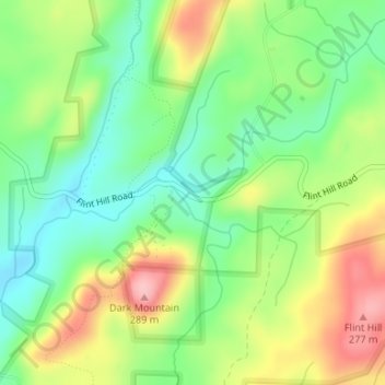
Name: Jumping Off Rock topographic map, elevation, terrain.
Average elevation: 194 m
Minimum elevation: 134 m
Maximum elevation: 281 m
Other topographic maps
Click on a map to view its topography, its elevation and its terrain.
Uwharrie National Forest
United States > North Carolina > Montgomery County > Troy
Average elevation: 175 m
Cul Res Town Creek Indian Mound
United States > North Carolina > Montgomery County
Average elevation: 71 m
Cul Res Town Creek Indian Mound
United States > North Carolina > Montgomery County
Average elevation: 71 m