
Tucheim topographic map
Interactive map
Click on the map to display elevation.
About this map
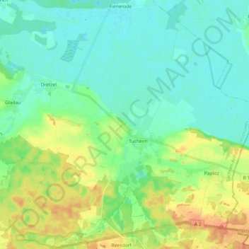
Name: Tucheim topographic map, elevation, terrain.
Location: Tucheim, Genthin, Jerichower Land, Sachsen-Anhalt, Deutschland (52.24078 12.08830 52.35140 12.22659)
Average elevation: 47 m
Minimum elevation: 34 m
Maximum elevation: 76 m