
Riverview topographic map
Interactive map
Click on the map to display elevation.
About this map
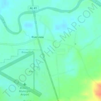
Name: Riverview topographic map, elevation, terrain.
Location: Riverview, Escambia County, Alabama, États-Unis (31.04934 -87.06708 31.06427 -87.05307)
Average elevation: 24 m
Minimum elevation: 13 m
Maximum elevation: 51 m