
Hokuto topographic map
Interactive map
Click on the map to display elevation.
About this map
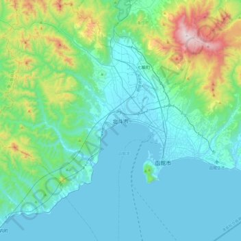
Name: Hokuto topographic map, elevation, terrain.
Location: Hokuto, 渡島総合振興局, Préfecture de Hokkaidō, 049-0121, Japon (41.66402 140.49297 41.98402 140.81297)
Average elevation: 198 m
Minimum elevation: -1 m
Maximum elevation: 1,164 m