
De Punt topographic map
Interactive map
Click on the map to display elevation.
About this map
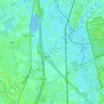
Name: De Punt topographic map, elevation, terrain.
Location: De Punt, Tynaarlo, Drenthe, Nederland (53.09223 6.59049 53.12982 6.63712)
Average elevation: 4 m
Minimum elevation: -3 m
Maximum elevation: 10 m
Other topographic maps
Click on a map to view its topography, its elevation and its terrain.