
b9 topographic map
Interactive map
Click on the map to display elevation.
About this map
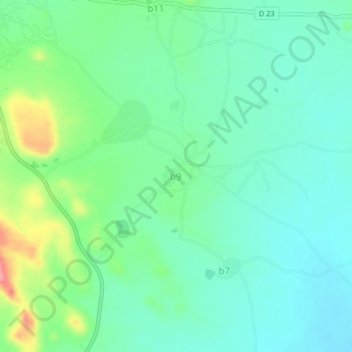
Name: b9 topographic map, elevation, terrain.
Location: b9, Sanmatenga, Central-North, Burkina Faso (12.86745 -1.07580 12.90745 -1.03580)
Average elevation: 322 m
Minimum elevation: 293 m
Maximum elevation: 399 m