
Mohal topographic map
Interactive map
Click on the map to display elevation.
About this map
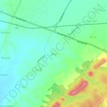
Name: Mohal topographic map, elevation, terrain.
Location: Mohal, Tehsil Dina, Jhelum District, Punjab, 49400, Pakistan (32.99398 73.59898 33.03398 73.63898)
Average elevation: 283 m
Minimum elevation: 248 m
Maximum elevation: 368 m