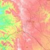
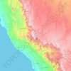
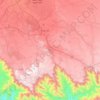
Abha topographic map
Click on the map to display elevation.
Abha
Abha is located in the southern region of Asir at an elevation of about 2,270 metres (7,450 feet) above sea level. Abha lies on the western edge of Mount Al-Hijaz, near Jabal Sawda, the highest peak in Saudi Arabia. Treating the Asir Mountains as part of the Sarawat, the landscape is otherwise dominated by the Sarawat Mountains.
About this map
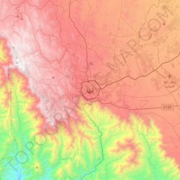
Name: Abha topographic map, elevation, terrain.
Location: Abha, 'Asir Province, 26442, Saudi Arabia (18.05643 42.34436 18.37643 42.66436)
Average elevation: 1,994 m
Minimum elevation: 722 m
Maximum elevation: 2,991 m
Other topographic maps
Click on a map to view its topography, its elevation and its terrain.
Bariq
Bariq is at an elevation of 412 m (1,352 ft) above sea level, and approximately 90 km (56 mi) inland from the Red Sea. It's lies 120 km (75 mi) km north-west of Abha (Occupying a distinct location at the road junction at the middle between Tihama and Asir). The district of Bariq begins about 10 miles (16 km)…
Average elevation: 930 m