
سد ابها topographic map
Interactive map
Click on the map to display elevation.
About this map
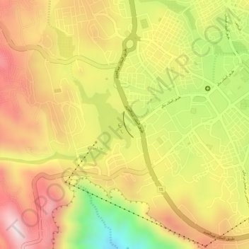
Name: سد ابها topographic map, elevation, terrain.
Location: سد ابها, Abha, 'Asir Province, 26442, Saudi Arabia (18.21063 42.48804 18.21343 42.48916)
Average elevation: 2,279 m
Minimum elevation: 1,988 m
Maximum elevation: 2,473 m