
Dashkesen topographic map
Interactive map
Click on the map to display elevation.
About this map
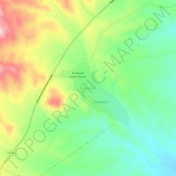
Name: Dashkesen topographic map, elevation, terrain.
Location: Dashkesen, Jabrayil District, East Zangezur, Azerbaijan (39.41070 47.08381 39.45070 47.12381)
Average elevation: 481 m
Minimum elevation: 381 m
Maximum elevation: 637 m