
Fontelas topographic map
Interactive map
Click on the map to display elevation.
About this map
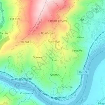
Name: Fontelas topographic map, elevation, terrain.
Location: Fontelas, Peso da Régua, Vila Real, 5040-211, Portugal (41.14702 -7.83533 41.17354 -7.81265)
Average elevation: 195 m
Minimum elevation: 43 m
Maximum elevation: 478 m