
KUNDASANG topographic map
Interactive map
Click on the map to display elevation.
About this map
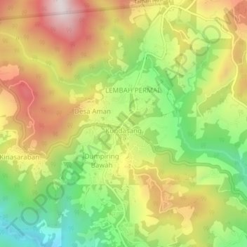
Name: KUNDASANG topographic map, elevation, terrain.
Location: KUNDASANG, Sabah, 89308, Malaysia (5.96651 116.55501 6.00651 116.59501)
Average elevation: 1,289 m
Minimum elevation: 866 m
Maximum elevation: 1,741 m