
塘岸镇 topographic map
Interactive map
Click on the map to display elevation.
About this map
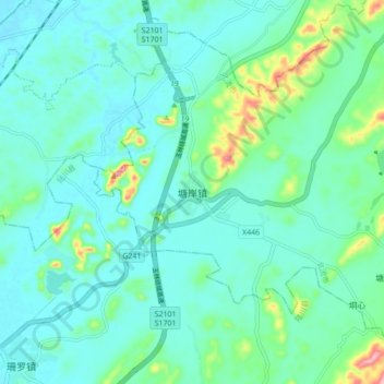
Name: 塘岸镇 topographic map, elevation, terrain.
Location: 塘岸镇, 北流市, 玉林市, 广西壮族自治区, 543000, 中国 (22.55707 110.22480 22.63707 110.30480)
Average elevation: 105 m
Minimum elevation: 76 m
Maximum elevation: 230 m