
La Carretona topographic map
Interactive map
Click on the map to display elevation.
About this map
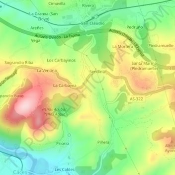
Name: La Carretona topographic map, elevation, terrain.
Location: La Carretona, Sendín, Oviedo, Asturias, 33191, España (43.33457 -5.92889 43.35457 -5.90889)
Average elevation: 200 m
Minimum elevation: 95 m
Maximum elevation: 335 m